
Multi-Layer Geological (25K Scale) Map of Karnataka and Andhra Pradesh
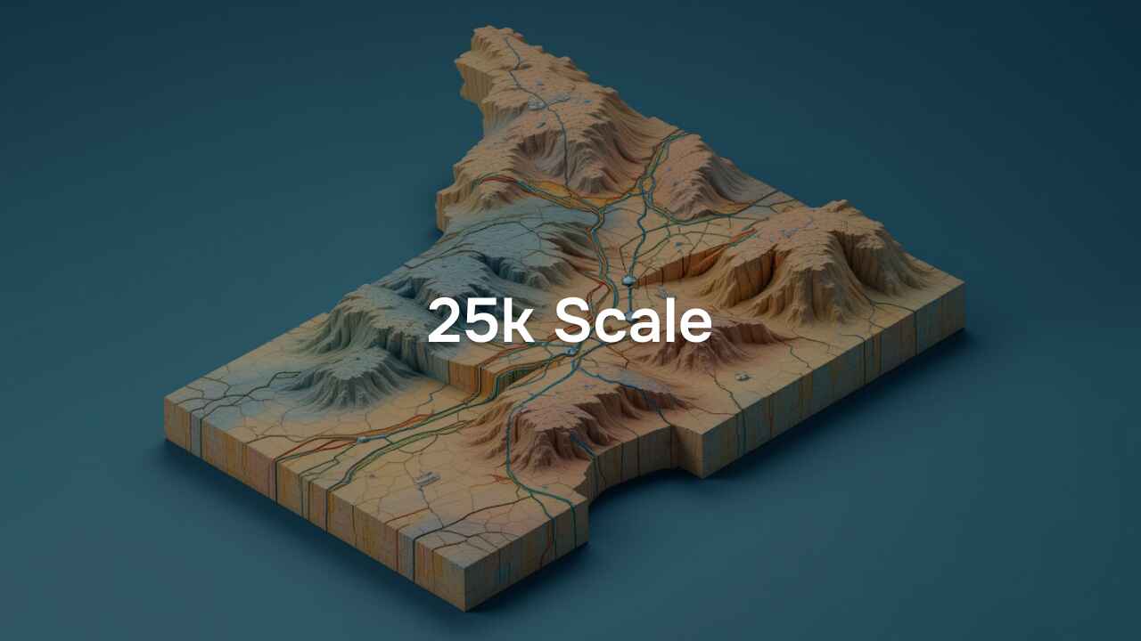
A detailed multi-layer geological map at a 1:25K scale covering parts of Karnataka and Andhra Pradesh, featuring key geological structures and mineralization zones.
About Dataset
This dataset provides a high-resolution geological map of selected areas in Karnataka and Andhra Pradesh at a 1:25K scale. It includes multiple layers representing geological features such as dykes, faults, folds, lithology, mines, quarries, mineralization zones, shear zones, and oriented structural planes. The map offers valuable insights for geological assessments, resource exploration, and structural analysis.
 Dataset Metadata
NA
39000 Sq Km area in Karnataka and AP
Chemical, Mining and Natural Resources
GSI
Unstructured
NA
NA
N.A.
11/03/25 15:05:41
Open
Hosted
 Activity Overview
 0
0 514
514  28.51 MB
  2,837
2,837
 Tags
Tags
- Geology
- shear zone
- fault
- fold
- mine quarry
- oriented structure plane
- lithology
- mineralization
 License Control
NA
25K ( 9 directories )
dyke_line_25k_ngdr_20250224140917945
8 files
fault_25k_ngdr_20250224140917945
4 files
fold_25k_ngdr_20250224140917945
4 files
lithology_25k_ngdr_20250224140917945
12 files
mine_quarry_25k_ngdr_20250224140917945
5 files
mineralization_25k_ngdr_20250224141143411
4 files
oriented_structure_line_25k_ngdr_20250224141143411
7 files
oriented_structure_plane_25k_ngdr_20250224141143411
8 files
shear_zone_25k_ngdr_20250224141143411
4 files
 Data Quality Score Beta
 Version Control
 Version 1(28.51 MB)
- admin·1 year(s) ago
- chevron_right
25K
- chevron_right
dyke_line_25k_ngdr_20250224140917945
- chevron_right
fault_25k_ngdr_20250224140917945
- chevron_right
fold_25k_ngdr_20250224140917945
- chevron_right
lithology_25k_ngdr_20250224140917945
- chevron_right
mine_quarry_25k_ngdr_20250224140917945
- chevron_right
mineralization_25k_ngdr_20250224141143411
- chevron_right
oriented_structure_line_25k_ngdr_20250224141143411
- chevron_right
oriented_structure_plane_25k_ngdr_20250224141143411
- chevron_right
shear_zone_25k_ngdr_20250224141143411
© 2026 - Copyright AIKosh. All rights reserved.