




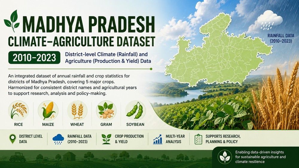
Madhya Pradesh Climate-Agriculture Dataset 2010-2023
This dataset integrates district-level agricultural statistics for five major crops in Madhya Pradesh—rice, maize, gram, soybean and wheat—with district-level annual rainfall observations for the period 2010–2023. Agricultural observations cover crop area, production and yield for agricultural years 2010–11 through 2022–23. Rainfall observations are aligned to the starting calendar year of each agricultural year. The dataset is intended for agricultural analytics, climate–agriculture research, c
About Dataset
Madhya Pradesh Climate–Agriculture Dataset 2010–2023 is a structured, derived dataset integrating district-level agricultural statistics with annual rainfall data for Madhya Pradesh, India. The agriculture component covers five major crops—rice, maize, wheat, gram and soybean—and contains cultivated area, production and yield for agricultural years 2010–11 through 2022–23. The climate component contains district-level annual rainfall observations sourced from India Meteorological Department (IMD) publications and official government publications that explicitly attribute rainfall data to IMD. The datasets were cleaned, standardized, reconciled using a district crosswalk, and integrated at the district × agricultural year × crop level. For integration, the starting calendar year of each agricultural year is used as the rainfall reference year. Missing rainfall observations are preserved and are not imputed. The dataset is intended for agricultural analytics, climate–agriculture research, crop-yield modelling, exploratory analysis and machine-learning applications.
Purpose of Dataset
Support research and analytics on agricultural production, crop yield and rainfall patterns in Madhya Pradesh.
 Dataset Metadata
Open Government License, India
Madhya Pradesh, India
AgriKosh
Yashraj Bhatnagar

Structured
Annually
Annually
01/04/2008 - 31/03/2022
12/08/26 18:49:29
Open
District + Agricultural Year + Crop
Hosted
Secondary
Secondary-data Collection And Integration From Official Government Of India Agricultural Statistics And India Meteorological Department (Imd) / Imd-attributed Rainfall Publications. Data From Multiple Years And Source Reports Were Collected, Cleaned, Normalized, And Harmonized For District Names, Agricultural Years And Crop Names. A District Crosswalk Was Used To Align Agriculture And Rainfall Records, After Which The Datasets Were Integrated At District × Agricultural Year × Crop Level. Missing Values Were Preserved And No Synthetic Rainfall Values Were Imputed.
 Activity Overview
 0
0 20
20  775.93 KB
  51
51
 Tags
Tags
- Agriculture
- District-Level Data
- India
- Climate
- Madhya Pradesh
- Crop Production
- Crop Yield
- Rainfall
- Rice
- Maize
- Wheat
- Gram
- Soybean
 License Control
Open Government License, India

Select a file to preview its contents.
 Data Quality Score Beta
 Version Control
 Version 1(775.93 KB)
- Yashraj Bhatnagar·1 month(s) ago

mp_madhya_pradesh_agriculture_rainfall_2010_2023_FINAL.csv
© 2026 - Copyright AIKosh. All rights reserved.