
Geomorphology Map of Karnataka and Andhra Pradesh
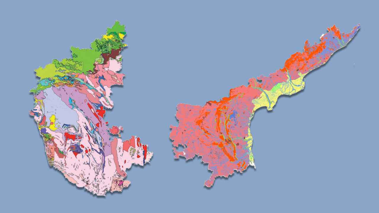
A geomorphology map of parts of Karnataka and Andhra Pradesh, depicting various landforms and surface features.
About Dataset
This dataset provides a geomorphology map of selected areas in Karnataka and Andhra Pradesh, showcasing different landforms and surface features. It includes details on hills, valleys, ponds, and other natural formations present in the region. The data helps in understanding the landscape evolution, terrain characteristics, and potential geological or environmental processes shaping the area.
 Dataset Metadata
NA
39000 Sq Km area in Karnataka and AP
Chemical, Mining and Natural Resources
GSI (Ministry of Mines)
Unstructured
NA
NA
N.A.
11/03/25 15:05:47
Open
Hosted
 Activity Overview
 0
0 290
290  20.97 MB
  1,026
1,026
 Tags
Tags
- Geology
- hills
- ponds
- valleys
 License Control
NA
geomorphology_250k_gcs_ngdr.cpg ( 5 Bytes )
To preview this file, you need to be a registered user. Please complete the registration process to gain access and continue viewing the content.
 Data Quality Score Beta
 Version Control
 Version 1(20.97 MB)
- admin·1 year(s) ago
- chevron_right
Geomorphology_250k

geomorphology_250k_gcs_ngdr.cpg
geomorphology_250k_gcs_ngdr.dbf
geomorphology_250k_gcs_ngdr.prj
geomorphology_250k_gcs_ngdr.sbn
geomorphology_250k_gcs_ngdr.sbx
geomorphology_250k_gcs_ngdr.shp
geomorphology_250k_gcs_ngdr.shp.xml
geomorphology_250k_gcs_ngdr.shx
© 2026 - Copyright AIKosh. All rights reserved.