
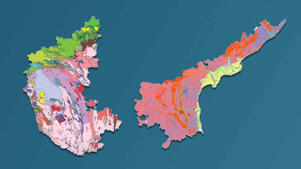
Geochronology Map of Karnataka and Andhra Pradesh
A geochronology map of parts of Karnataka and Andhra Pradesh, displaying the age of rocks determined through various dating methods
About Dataset
This dataset presents the geochronology map of selected areas in Karnataka and Andhra Pradesh, showing the age of rocks in million years. The age determination is based on different radiometric dating methods, including K-Ar (Potassium-Argon), Rb-Sr (Rubidium-Strontium), Sm-Nd (Samarium-Neodymium), and U-Pb (Uranium-Lead). It provides essential geological insights for understanding the region's geological history and evolution.
 Dataset Metadata
NA
39000 Sq Km area in Karnataka and AP
Chemical, Mining and Natural Resources
GSI
Unstructured
NA
NA
N.A.
11/03/25 15:05:46
Open
Hosted
 Activity Overview
 0
0 329
329  64.17 KB
  697
697
 Tags
Tags
- Geology
- Sm-Nd
- K-Ar
- Rb-Sr
- U-Pb
 License Control
NA
Geochronology ( 4 directories )
k_ar_geochronology_20250224140807718
7 files
rb_sr_geochronology_20250224140807718
7 files
sm_nd_geochronology_20250224140807718
7 files
u_pb_geochronology_20250224140807718
4 files
 Data Quality Score Beta
 Version Control
 Version 1(64.17 KB)
- admin·1 year(s) ago
- chevron_right
Geochronology
- chevron_right
k_ar_geochronology_20250224140807718
- chevron_right
rb_sr_geochronology_20250224140807718
- chevron_right
sm_nd_geochronology_20250224140807718
- chevron_right
u_pb_geochronology_20250224140807718
© 2026 - Copyright AIKosh. All rights reserved.