Government Of India
A-
A
A+

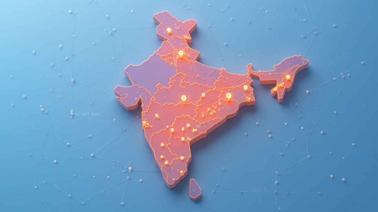
All India Pincode Boundary Geo JSON
Geospatial boundaries of delivery post offices mapped to their respective pincodes in India.
About Dataset
The dataset provides the geographical boundaries associated with delivery post offices across India, categorized by their respective pincodes. It is a spatial data resource that helps visualize and analyze the postal delivery network, enabling better planning for logistics, postal services, and public utilities.
 Dataset Metadata
Open Government License, India
All India
Communications, Media and Broadcasting
Ministry of Communications, Department of Posts
-
Structured
Half Yearly
Half Yearly
N.A.
30/06/25 04:33:05
Open
Hosted
 Activity Overview
 1
1 672
672  0
0  3,533
3,533
 Tags
Tags
- PINCODE
- Geo Json File
- Geojson
 License Control
Open Government License, India
© 2026 - Copyright AIKosh. All rights reserved.