Mineral Maps from Advanced Spaceborne Thermal Emission and Reflection Radiometer (ASTER) Data – Karnataka and Andhra Pradesh
Mineral maps derived from ASTER satellite data, covering parts of Karnataka and Andhra Pradesh, with 14 thematic layers of mineral indices.

About Dataset
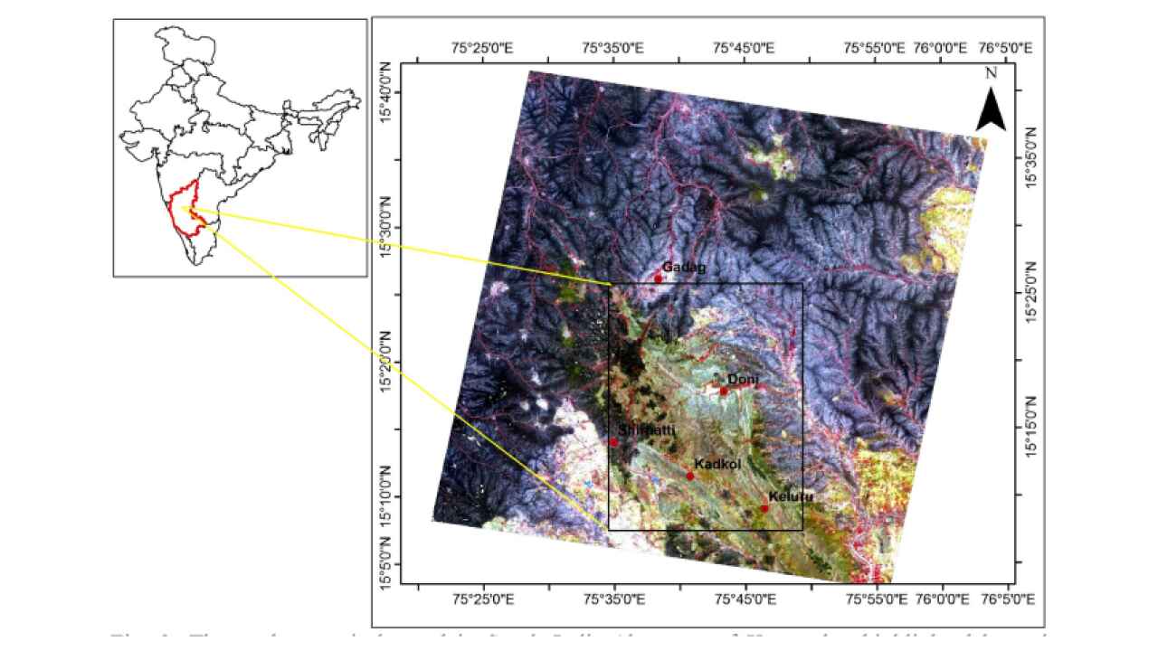
This dataset provides mineral maps of the hackathon area, generated using ASTER satellite data. The final output consists of 14 thematic layers representing different mineral indices, primarily derived using band ratio and Relative Band Depth (RBD) techniques. These maps help in identifying mineral potential zones and supporting geological exploration in Karnataka and Andhra Pradesh.
 Dataset Metadata
NA
39000 Sq Km area in Karnataka and AP
Chemical, Mining and Natural Resources
GSI
Unstructured
NA
NA
N.A.
11/03/25 15:06:04
Open
Hosted
 Activity Overview
 0
0 333
333  6.62 GB
  950
950
 Tags
Tags
- Geology
- Mineral
 License Control
NA
Remotesening data ( 2 directories )
AST_05T TIR
3 directories
AST_07XT VNIR+SWIR
11 directories
 Data Quality Score Beta
 Version Control
 Version 1(6.62 GB)
- admin·1 year(s) ago
- chevron_right
Remotesening data
- chevron_right
AST_05T TIR
- chevron_right
AST_07XT VNIR+SWIR
© 2026 - Copyright AIKosh. All rights reserved. This portal is developed by National e-Governance Division for AIKosh mission.